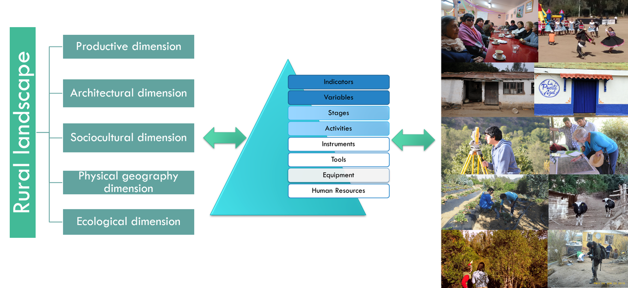
Phase 2: Top-down assessment (Assessment based on observation and understanding of the landscape from theory and expertise)
In October 2015, Phase 2 of the project began. This involved evaluating the landscape theoretically from different disciplines which were selected to address the complexity of the landscape. 5 dimensions were defined to study the landscape. For each of these dimensions, indicators that reflect changes that may have affected such dimensions (or will affect them in future) in the different territories were selected. Each indicator was operationalized through specific variables. To ensure proper execution, the procedure for measuring such variables is objectively defined by a number of stages: activities, expected results, instruments, tools, equipment and required professional profiles. This will facilitate any future replication of the procedure by other institutions or researchers.

